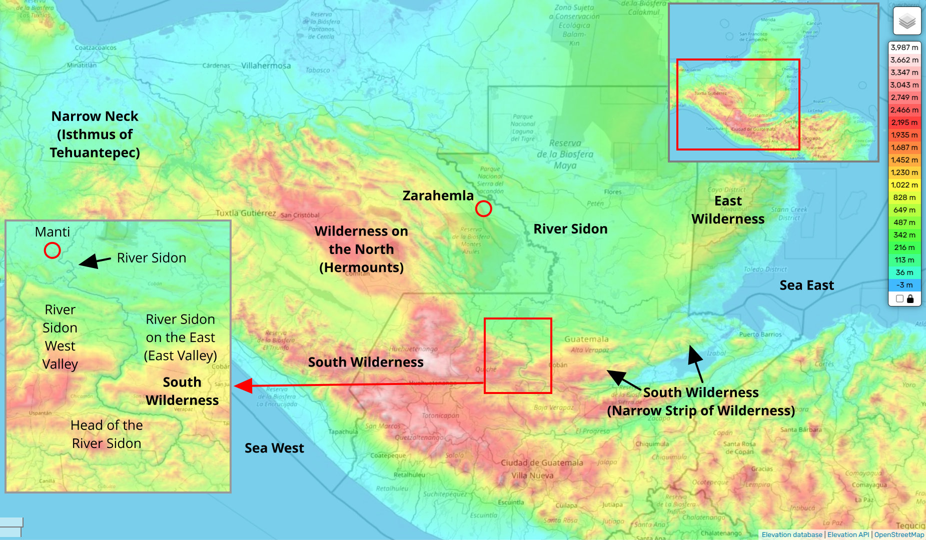
The south wilderness mentioned in the Book of Mormon is described as a narrow strip of wilderness. There is no descriptoin about how wide 'narrow' refers to, but the wilderness is described as running east and west which would indicate that it is narrower in the north / south direction than in the east / west direction. It stretches from the sea East to the sea West. It has a north-flowing river that runs through it and the head of the river is near the wilderness. There are two other wildernesses close to it, a wilderness on the north by the east coast and a wilderness on the north by the sea West coast.
ALMA 13:68 [22:27]: And it came to pass that the king sent a proclamation throughout all the land, amongst all his people who were in all his land, who were in all the regions round about, which was bordering even to the sea, on the east, and on the west, and which was divided from the land of Zarahemla by a narrow strip of wilderness, Alma 13:69 [22:27] Which ran from the sea east, even to the sea west, and round about on the borders of the [west] sea-shore, and the borders of the wilderness which was on the north [Hermounts], by the land of Zarahemla, through the borders of Manti, by the head of the river Sidon, running from the east towards the west; and thus were the Lamanites and the Nephites divided.
ALMA 11:11 [16:7]: And it came to pass that Zoram and his sons crossed over the river Sidon with their armies, and marched away beyond the borders of Manti, into the south wilderness, which was on the east side of the river Sidon.
Commentary: The phrase 'on the east' in Hebrew indicates a region on that side (east). It is not describing the east shore of the river Sidon - it is describing that there is a river on the east. This east portion of the river is beyond the land of Manti which is explained as having a wilderness on one side of the land.
Isthmus of Tehuantepec (Mexico) Model Assessment:
The mountainous range in the south-central portion of Guatemala matches the description for the south wilderness. The mountainous range extends from the sea East (Gulf of Honduras) to the Pacific Ocean on the west and even extends along the Pacific Ocean coast ('round about on the borders of the [west] sea-shore'). There is a mountainous region to the north of it. There is a mountainous region north of it on the eastern coast (Belize Mountains). The head of a north-flowing river (Usumacinta River) is in the south wilderness. Where the Usumacinta River meets the south wilderness, there are two branches and the east branch of the river is the only branch that extends through the wilderness. This is an amazingly accurate description in the Book of Mormon as the east and west valleys did not exist on any maps in 1830.
ALMA 20:35 [43:31]: Therefore he divided his army, and brought a part over into the valley, and concealed them on the east, and on the south of the hill Riplah; and the remainder he concealed in the west valley, on the west of the river Sidon, and so down into the borders of the land of Manti.
South Wilderness (Isthmus of Tehuantepec)
(Tap to Expand)
Heartland Model Assessment:
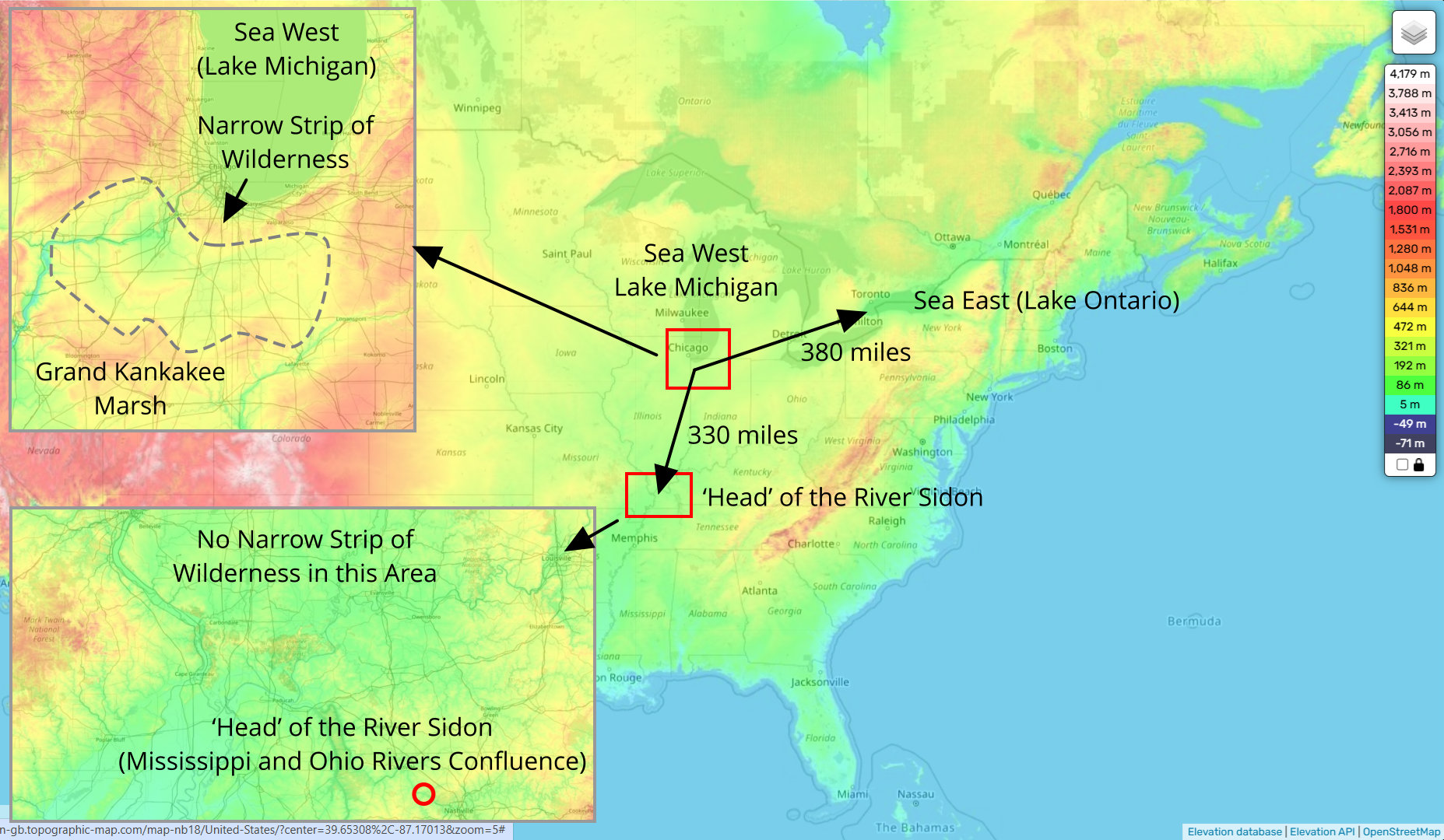
The Heartland model specifies the south wilderness - the narrow strip of wilderness - at the south shores of Lake Michigan (reference). This location is approx. 330 miles from the 'head' of the river Sidon (confluence of the Mississippi and Ohio rivers) and approx. 380 miles from Lake Ontario which the Heartland Model names as the Sea East. These locations do not correspond to the descriptions in ALMA 13:68-69 [22:27].
South Wilderness (Heartland Model)
(Tap to Expand)
Candidate Narrow Neck locations:
These locations meet the basic requirements for having a south wilderness.
South of the Narrow Neck
Runs from a Sea East to a Sea West
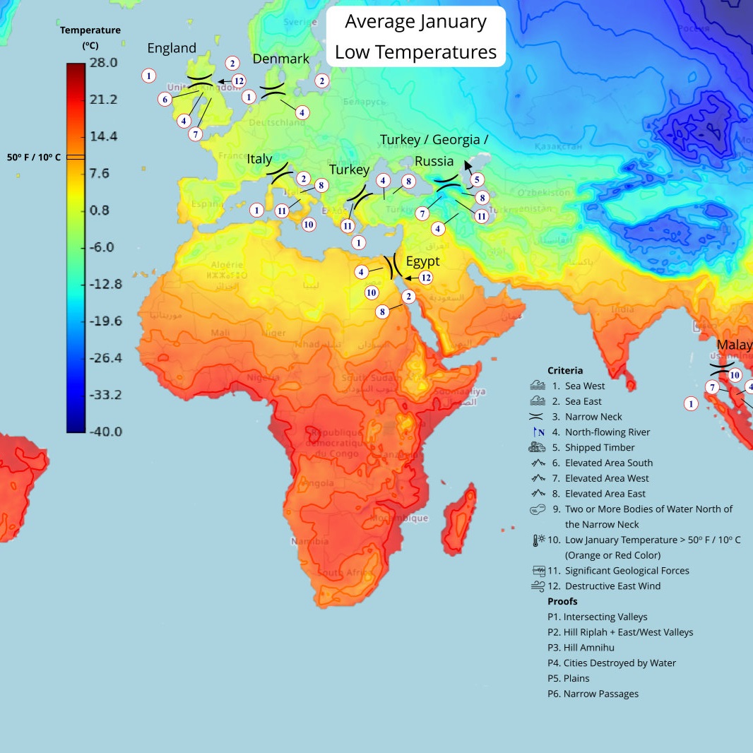
England
(Tap to Expand)
Click here for more information on the England location.
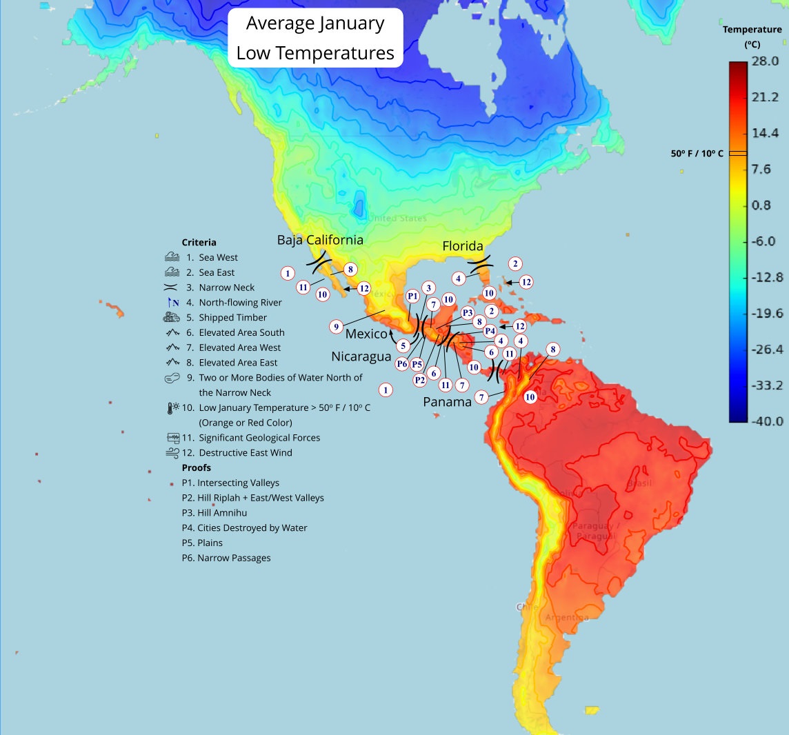
Mexico
(Tap to Expand)
Click here for more information on the Mexico location.
Nicaragua
(Tap to Expand)
Click here for more information on the Nicaragua location.